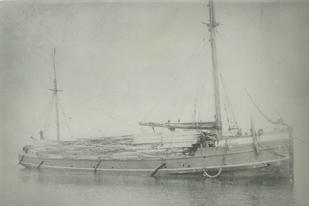
John T. Johnson
Vessel Type: Sail: wooden schooner barge
GPS Location: N45°01.299' W83°15.721'
Depth: 7 feet
Wreck Length: 171 feet
Beam: 31 feet
Gross Tonnage: 448
Cargo: Lumber
Launched: 1873 by John Squires in Huron, Ohio
Wrecked: November 29, 1904
Description: The propeller steamer B.W. Blanchard was towing John T. Johnson and the schooner John Kilderhouse when all three were driven ashore at North Point Reef in a blinding snowstorm. B.W. Blanchard was an immediate total loss, while several days of pounding in the surf of Lake Huron eventually destroyed John T. Johnson as well. John Kilderhouse, last to hit the reef, was recovered.
Today, the wreck of John T. Johnson is very near shore in shallow water and largely covered in sand and cobbles. It consists of a bottom hull structure with a pocket piece for the centerboard trunk. Portions of the sides with hull and ceiling planking are also buried nearby.