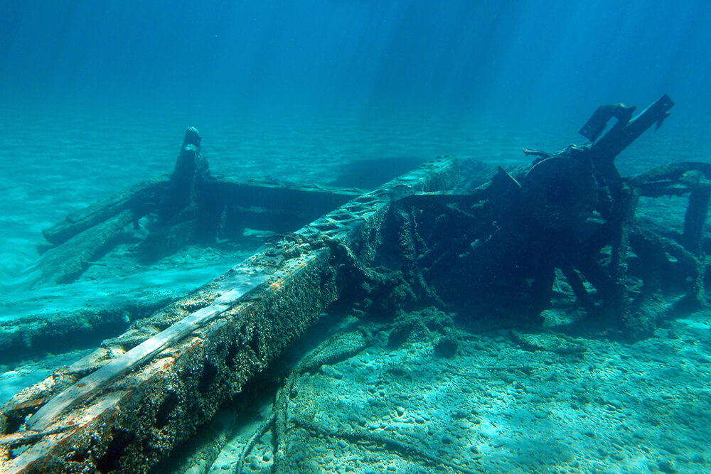
Harltiner Barge (aka Scanlon’s Barge)
Vessel Type: Wooden derrick barge
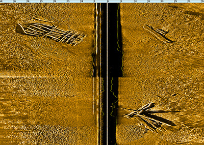
GPS Location: N45° 02.146’ W83° 19.631’
Depth: 13-17 feet
Wreck Length: 80 feet
Beam: 33 feet
Gross Tonnage: Unknown
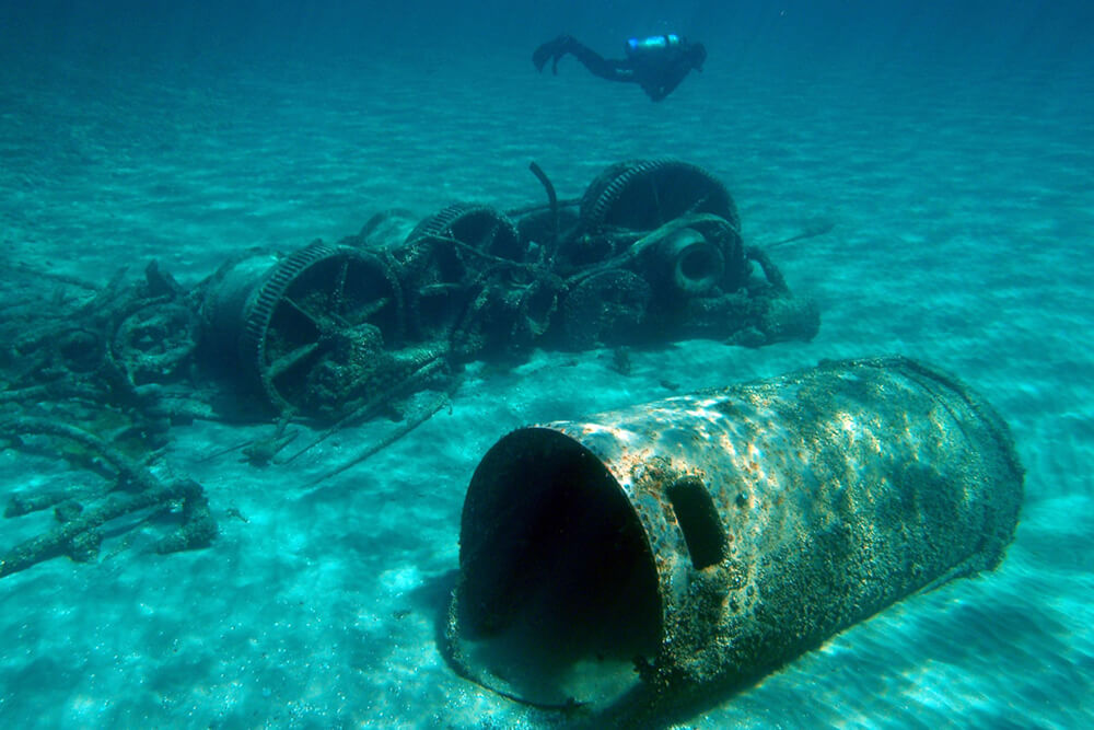
Cargo: Dredging equipment
Launched: Unknown
Wrecked: Circa 1929
Description: This work vessel was clearly built for marine contracting work like dredging and constructing breakwaters and docks. The barge sank about a half-mile from shore. Nothing is known of the circumstances of its loss. This fascinating wreck is broken into three pieces, with the large steel crane, steam boiler, deck winches, and anchor all lying in the debris.